Partnering. Planning. Producing.
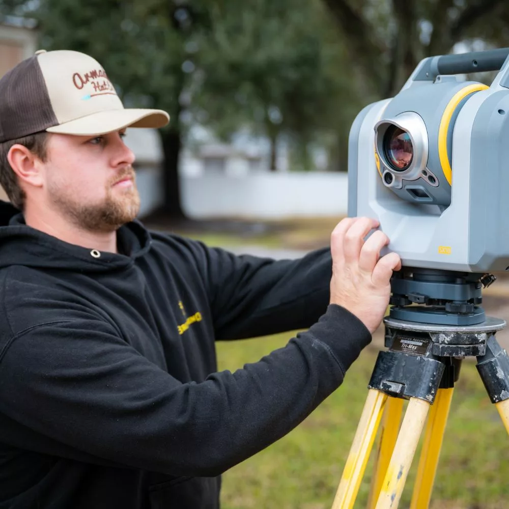
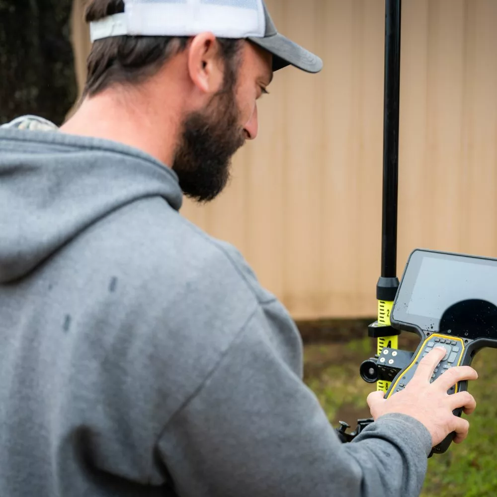
Mapping & Surveying
Our long history of mapping and planning Clients’ communities and infrastructure, along with the storing of maps from over 75 years, has proven to be extremely valuable. And it’s a blast walking back in time with Clients working on old maps to shine light on their new projects.
General Services
Alta Boundary Surveys
Topographical Site Surveys
Route Surveys
Right-of-way Surveys
3D Scanning
Utility As-built Surveys
GIS Utility Asset Management
Technical Overlay Mapping
Featured Case Project
General/Downtown Urban Area
Pineville, Louisiana
Partnering
- City of Pineville, Louisiana (Client)
Assignment Goal:
- PAE has been collecting site and infrastructure mapping for clients across the Southeast U.S. since the 1940s. That bank of knowledge, when combined with current technology, has proven to be of extreme value to public and private clients alike.
Planning
Challenges/Opportunities:
- Value: The great value of having verifiable data on the placement and history of above and below ground infrastructure has saved tremendous time, efforts and costs for clients.
- Growth: When planning for any growth it is imperative that one understands history and placement of past and current renovated infrastructure.
- Management: Leadership turnover continually hampers the knowledge base of elected or appointed officials in our towns, cities, regions and agencies. PAE manages diverse mapping & survey information that is crucial to helping new leaders make great decisions.
Producing
- PAE has maintained utility records of the City of Pineville since 1945 using the historical records database.
- PAE technicians developed a compilation mapping system of the ‘Old Town’ area. The ‘Old Town’ Area maps are now updated for inclusion into a PAE managed digital scan mapping system that includes a GIS database of city water and sewer assets.
- The GIS asset management platform allows both PAE technicians and city personnel access to historic maps as well as the current GIS mapping with field iPad setups.


